GIS Applications
Geographic Information System (GIS) is a system that allows users to capture, store, manipulate, analyze, manage, and present spatial or geographical data. Web GIS application is the application that allows users to access, analyze, and visualize geographic data over the internet using a web browser.
At G-Sentry (Pvt) Ltd, we specialize in developing web-based GIS and mobile GIS applications, as well as remote sensing apps. We are experts in data collection, visualization, analysis, and display in analytical platforms. Our overlay API with real-time weather, satellite images, and other data is particularly useful for land use analysis. Our GIS applications are designed to provide users with a powerful tool for decision-making by integrating various data sources and displaying them on a map. By using GIS technology, we help our clients to understand their data better, identify trends, and make informed decisions based on spatial information.
Our team of GIS experts has extensive experience in developing custom GIS applications for a wide range of industries, including agriculture, forestry, urban planning, disaster management, and many more. We work closely with our clients to understand their unique needs and develop solutions that meet their specific requirements. At G-Sentry (Pvt) Ltd, we are committed to delivering GIS solutions that are reliable, user-friendly, and cost-effective. Our goal is to help our clients leverage the power of GIS technology to improve their operations, enhance their decision-making processes, and achieve their business objectives.
At G-Sentry (Pvt) Ltd, we have developed GIS platforms for various industries, including:
Agriculture: Our GIS platform helps farmers to manage their crops more efficiently by providing real-time weather data, soil analysis, and yield estimates. This enables farmers to make informed decisions about when to plant, irrigate, and harvest their crops, resulting in higher yields and lower costs.
Forestry: Our GIS platform is used to manage and monitor forest resources, including timber inventory, forest health, and wildlife habitat. It provides forest managers with the tools they need to plan and execute sustainable forest management practices.
Irrigation: Using GIS technology, we can provide real-time data on soil moisture, weather patterns, and crop growth, allowing farmers to make informed decisions about when and how much to irrigate. Our GIS solutions can also incorporate data on water sources, irrigation infrastructure, and water usage, tank details, enabling the management of water resources more efficiently and effectively.
Urban Planning: Our GIS platform is used to plan and manage urban areas by providing data on land use, zoning, transportation, and infrastructure. This enables city planners to make informed decisions about the development of urban areas and the allocation of resources.
Disaster Management: Our GIS platform is used to manage and respond to natural disasters, such as earthquakes, floods, and wildfires. It provides real-time data on the location of affected areas, the extent of damage, and the availability of resources, enabling emergency responders to make informed decisions about where to allocate resources and how to respond.
In each of these industries, our GIS platforms have enabled our clients to make more informed decisions, optimize their operations, and achieve their business objectives. Following are some Use Casers;
Use Case One
Development of AgriERP for Agriculture ministry Western Province
AgriERP is a powerful and easy-to-use farm management platform that assists agricultural stakeholders across the entire value chain. This platform will facilitate for GIS base mapping for planning, management, accounting, inventory, trading. Application is based on Web and Mobile application powered with GIS technology offerings, AgriERP can easily streamline agriculture management efforts. This platform will manage farm, farmer, precise weather forecasts and yield estimates, stock management and trading application.

Use Case Three
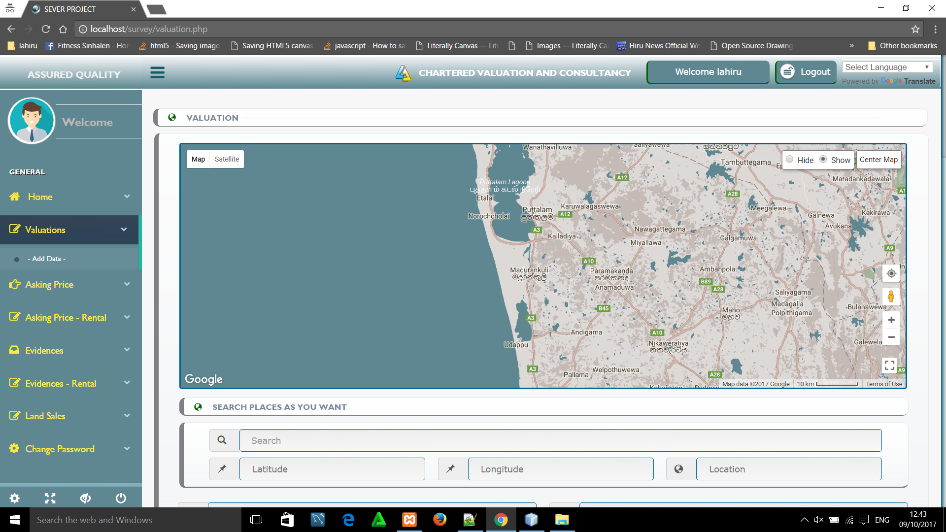
Web and Mobile based GIS system for Survey - IJVR consultancy (Pvt) ltd
WebGis centralized spatial database will store in the server as a portal. Data can be collected through Android base in hose-developed applications and data can be entered manually using forms. The data will store and display in real-time. This application allowed users to do their own quarry, statistical analysis, output as xl or kml, images, etc..