Drone Mapping
Drone mapping is a technology that utilizes drones with high-resolution cameras and sensors to conduct aerial surveys and collect data. The data collected is highly accurate and can be analyzed in real-time or near real-time, providing faster results than traditional manual methods. This technology is being adopted by various industries such as agriculture, construction, mining, and waste management to improve speed, quality, and efficiency. G-Sentry (Pvt) Ltd is a reliable provider of GIS data and services in Sri Lanka and has been developing drone mapping solutions for over 10 years.
Drone mapping is a process of collecting high-resolution aerial data using drones, which are equipped with various types of sensors such as RGB cameras, multispectral cameras, thermal cameras, and LiDAR sensors. The drones are flown over a particular area of interest, capturing high-resolution images and data points which are then used to generate 3D models, maps, and other types of analytical data.
Drone mapping offers many advantages over traditional surveying and mapping methods. The data collected by drones is highly accurate, and the process is much faster and more efficient than traditional methods. Drones can cover large areas in a short amount of time and can capture data from hard-to-reach or dangerous areas. Drone mapping can also be conducted in real-time or near real-time, allowing for quick decision making and problem-solving.
G-Sentry (Pvt) Ltd is a company that specializes in providing drone mapping services to various industries. With over 10 years of experience, the company has developed drone mapping servers that cater to the needs of different entities. The company is committed to using state-of-the-art technology and innovative solutions to provide reliable and accurate data to its clients.
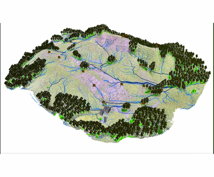
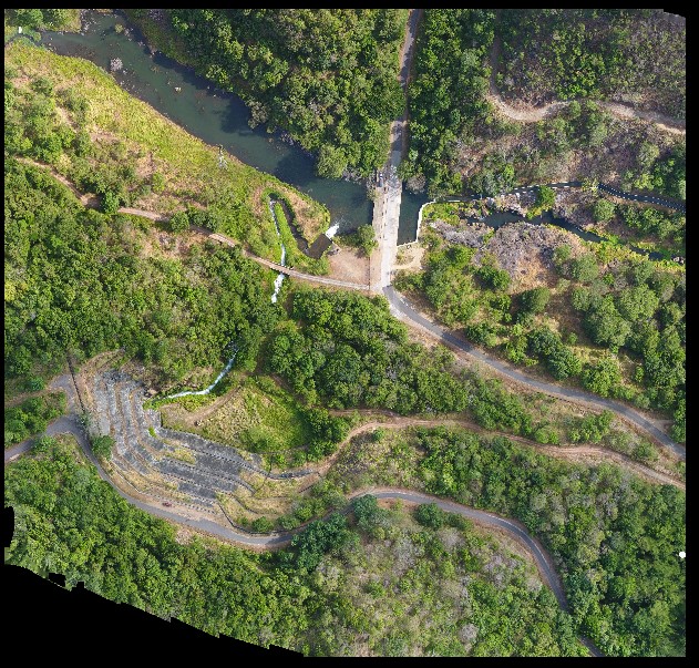
Use Cases - Preparation of 2.5 square Kilometer Digital Elevated Modal with 1-meter accuracy for Kanneliya restoration site
The project involves the restoration of a degraded forest area in the Kanneliya Conservation Forest in Sri Lanka. The restoration program is being implemented by the International Union for Conservation of Nature (IUCN) Sri Lanka, in collaboration with other organizations such as Biodiversity Sri Lanka, the Forest Department, and private sector stakeholders. The objective is to restore an area of 10 hectares of degraded fern land by removing the dominated fern Dicranopteris linearis and planting Glyricidia as a shade species during the first stages. Later, a variety of wild plants resembling a natural forest will be planted under the shade of Glyricidia. The project aims to use an ecological restoration modeling approach to demonstrate the restoration and management of degraded forests in the wet zone of Sri Lanka.
The DEM will cover an area of 2.5 square kilometers and will have a 1-meter accuracy. This means that the model will accurately represent the terrain and elevation of the restoration site with a level of precision that is within 1 meter. The DEM will be created using remote sensing techniques and data obtained from aerial surveys conducted by drone-mounted high-resolution cameras. These cameras are equipped with RGB (for photogrammetry) to capture highly accurate and detailed data about the terrain and elevation of the restoration site.
The completed DEM will be submitted to the International Union for Conservation of Nature (IUCN) Sri Lanka, which is overseeing the Kanneliya restoration project. The DEM will be used as a crucial tool for planning and executing the restoration project, enabling project partners to make informed decisions about planting locations, water management, and other key aspects of the project.
| Area | - 2.5 SqKm |
| Othomosaic Resolution | - 2CM to 8CM |
| Ground Control Points (GCPs) | - More than 10 GCPs (by licensed surveyor) |
| Accuracy (X and Y) | - Below 2CM to 5CM |
| Accuracy (Z) | - Below 1M |
| Data Output | - Othomosaic (GeoTIFF) |
| Georeferencing | - Yes |
| Overlapping | - Forward 80% Side 60% |
| Flying height | - 100M to 200M |
| Image Coordinate system | - WGS 84 |
| Output Coordinate system | - WGS 84/ UTM zone 44N |
| Compatibility | - AutoCAD and ArcGIS |
| Contours | - Below 1M intervals |
.png)
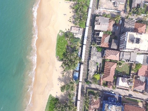
Use Cases - Drone mapping in Trincomalee area, lands belong to Port Authority – 28 KM2
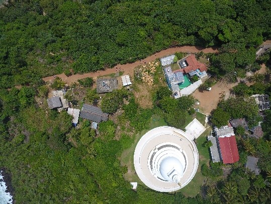
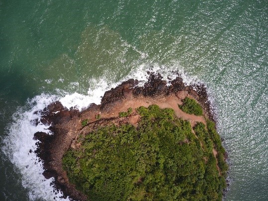
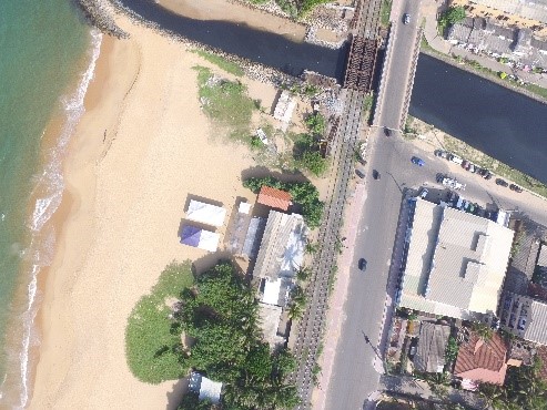
Use Cases - Drone mapping Rumasala Hill in Galle (Port Authority)
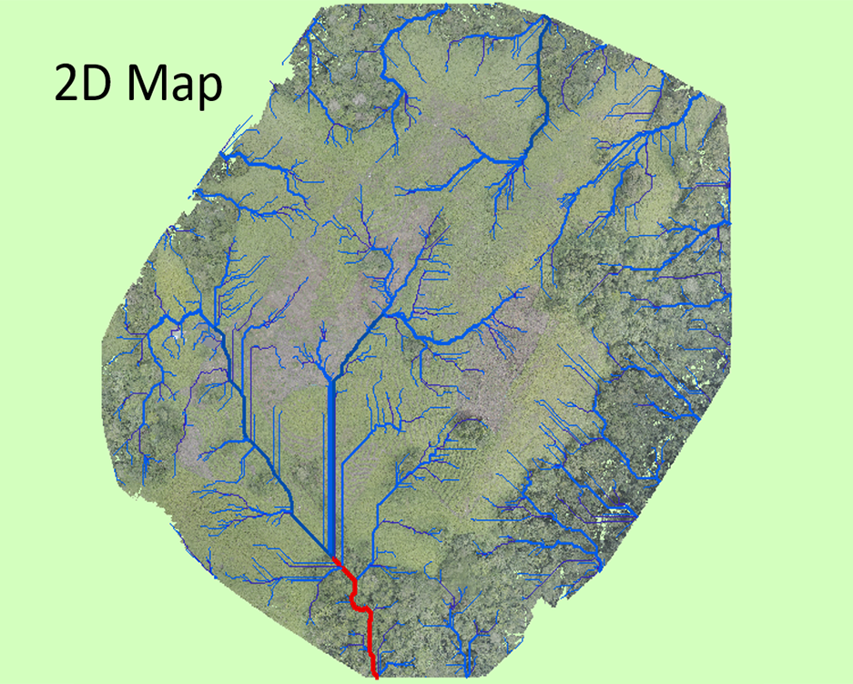
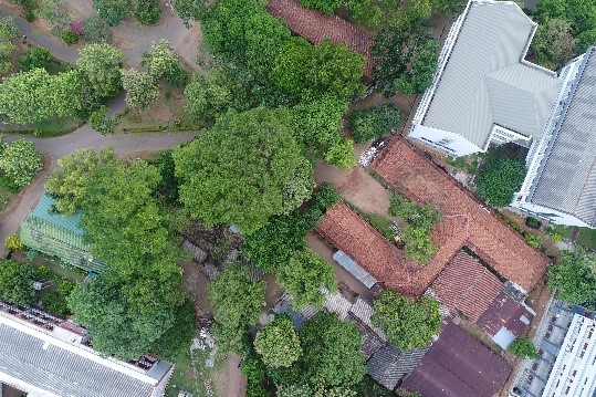
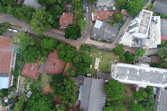
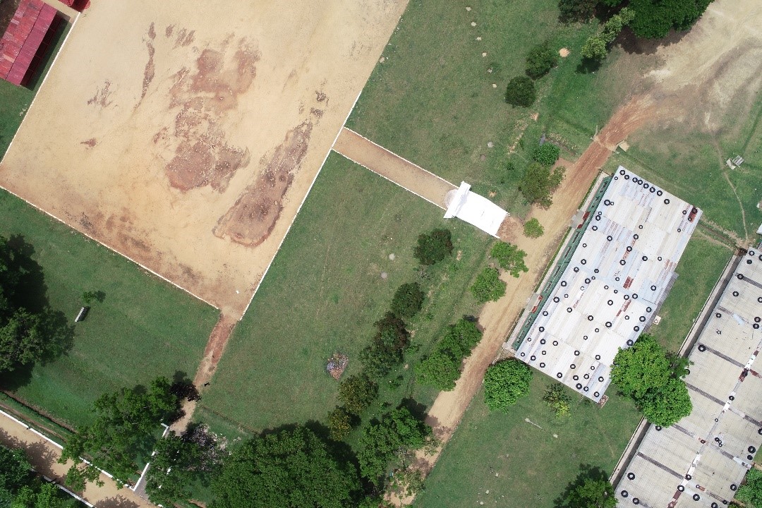
Use Cases - Drone Mapping, University of Sri Jayawardanapura (2D Map)
Experience - As a Heaad of GIS/IT wing and project in charge in Center for Research and development, Ministry of Defence
1. Drone mapping Samanalawawa project and developed 2D and 3D map
2. Drone mapping for Kandy City and developed Orthomosaic image
3. Drone mapping using Thermal Image camera to identify elephants in Madur Oya area.
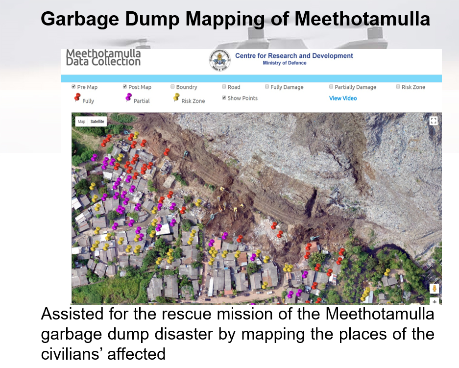
4. Drone Mapping using RGB camera and multispectral image camera and developed WebGis application for Meethotamulla.